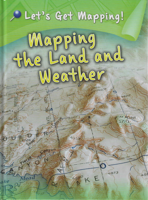
Let's Get Mapping! : Mapping the Land and Weather
Maps are essential tools for understanding the world around us. Learning to read maps - both printed and online - is a core skill that forms the basis of social studies. This book explores the different ways that maps can be used to show natural features and processes.
- What is an isobar?
- How do physical maps show the shape of the land?
- Why are satellites useful for making maps?
Find the answers to these questions and more in Let's Get Mapping! In Mapping the Land and Weather you'll learn about the different ways that maps can show the physical world. Reading this book will give you the skills to interpret physical maps!
Each title in the Let's Get Mapping! series features:
- a range of maps, from historical to online
- explanations of different types of maps
- a mapping activity to put what you've learned into action!
Publisher: Rantree UK
Author: Melanie Waldron
ISBN: 9781406249217
Pages: 32
Format: Hardcover
Dimensions: 27.1 x 20.2 x 0.8 cm
Free delivery
Free delivery anywhere in India on orders over ₹1,500


